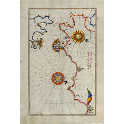
Piri Reis Map Of The Strait Of Gibraltar With The Cities Of Gibraltar And Ceuta Poster
The Piri Reis Map of the Strait of Gibraltar with the cities of Gibraltar and Ceuta poster is a detailed map showcasing the region in intricate detail. The poster features accurate cartographic depictions of important landmarks, cities, and coastal lines around the area. This historical map provides a unique glimpse into the geography and navigation patterns of the region during that time period. The poster is available for purchase as canvas prints or high-resolution image downloads.