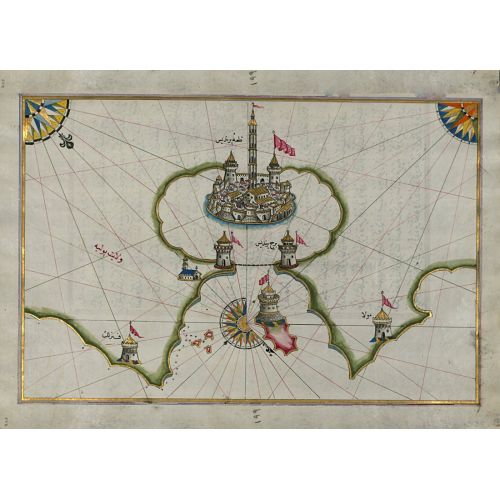
The Piri Reis Map Of The Port Of Brindisi Poster features detailed cartography of the port and surrounding area, including topographical details, landmarks, and navigational routes. This historical map showcases the intricate artistry and accuracy of Turkish cartographer Piri Reis. The region map provides a valuable glimpse into the maritime history of Brindisi and its importance as a strategic port in the Mediterranean Sea. Available for purchase as canvas prints or high-resolution download.