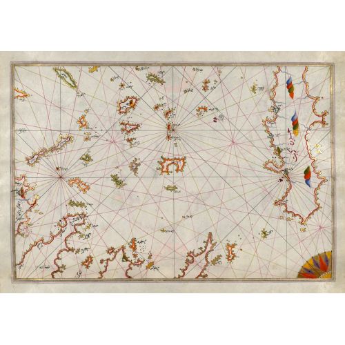
Piri Reis Map Of The Cyclades Islands Between The Peloponnese Peninsula And Crete Poster
The Piri Reis Map of the Cyclades Islands is a detailed and historically significant map capturing the geography of the islands situated between the Peloponnese Peninsula and Crete. The poster features intricate cartography, showcasing ancient trade routes, settlements, and topographical details. Available as canvas prints or high-resolution image downloads for purchase.