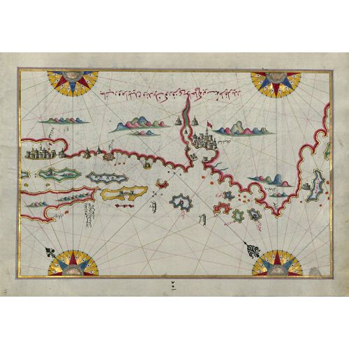
Piri Reis Map Of The Coastline And The Islands Between Sibenik And Zadar Poster
The Piri Reis Map Of The Coastline And The Islands Between Sibenik And Zadar Poster features a detailed depiction of the coastline and islands between Sibenik and Zadar. This historical map, created by Ottoman admiral Piri Reis in the 16th century, offers a unique perspective on the region's geography and navigation routes. Available for purchase as canvas prints or high-resolution image downloads.