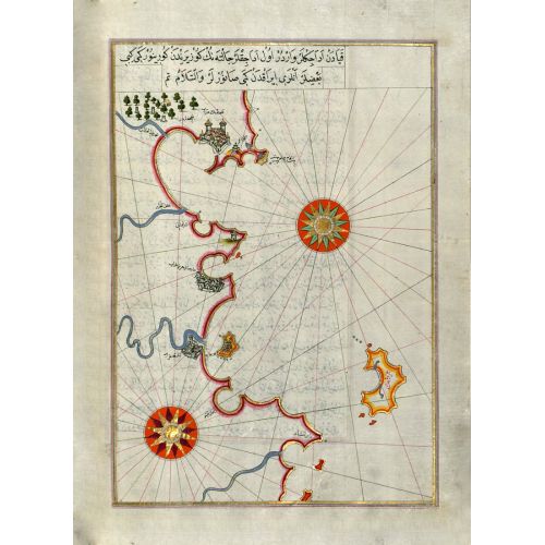
Piri Reis Map Of The Algerian And Tunisian Coast From Annaba To Tabarka Poster
The Piri Reis Map of the Algerian and Tunisian Coast from Annaba to Tabarka Poster features a detailed map created by the famous Ottoman admiral and cartographer, Piri Reis. The poster showcases the coastlines of Algeria and Tunisia with accurate depictions of cities, ports, and geographical features. This historical map provides insight into the navigation practices of ancient sailors in this region. The poster is available for purchase as canvas prints or high-resolution image downloads.