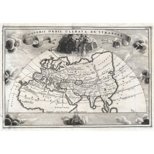
The Map Of Asia Europe And Africa 1700 Poster features a detailed map showing the regions of Asia, Europe, and Africa in 1700. It includes various countries and boundaries as they were during that time period. The poster is available for purchase as canvas prints or high-resolution image downloads.