
La Feuille Map Of Africa 1710 Poster
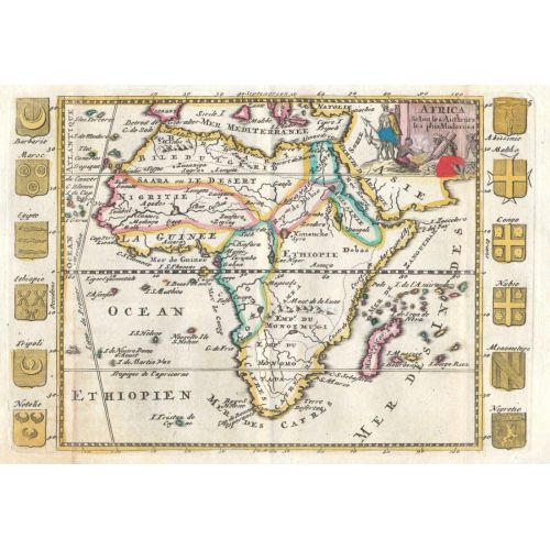
La Feuille Map Of Africa 1710 Poster
$10.80
Ex Tax: $9.00
- Categories: Posters, Map Posters
- Stock: In Stock
- Model: pmap30
- MPN: 340000105948
Available Options
La Feuille Map Of Africa 1710 Poster
The La Feuille Map Of Africa 1710 Poster features a detailed map of the African continent from the 18th century. The poster showcases geographical features, political boundaries, and ancient place names. It is available for purchase as canvas prints or high-resolution image downloads. Ideal for history buffs and collectors interested in vintage maps.Region map: This historical map highlights various regions of Africa including North Africa, West Africa, East Africa, Central Africa, and Southern Africa. Each region is depicted with accuracy and attention to detail according to the cartography standards of the time period.