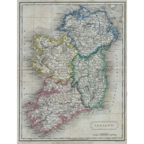
The Ireland 1822 Map Poster features detailed cartography of the island including cities, towns, rivers, and mountains. The region map showcases historical boundaries and geographic landmarks of Ireland in the early 19th century. The poster is available for sale as canvas prints or high-resolution image download.